Cloudbreak Weather
Weather, built for fire country.
Download on the App StoreForecast · fire-weather · fire map · radar & satellite · history · your own stations — for iPhone, Apple Watch, iPad & Mac.
See Cloudbreak in action
A closer look on iPhone — swipe or tap through. Apple Watch, iPad, and Mac are further down.
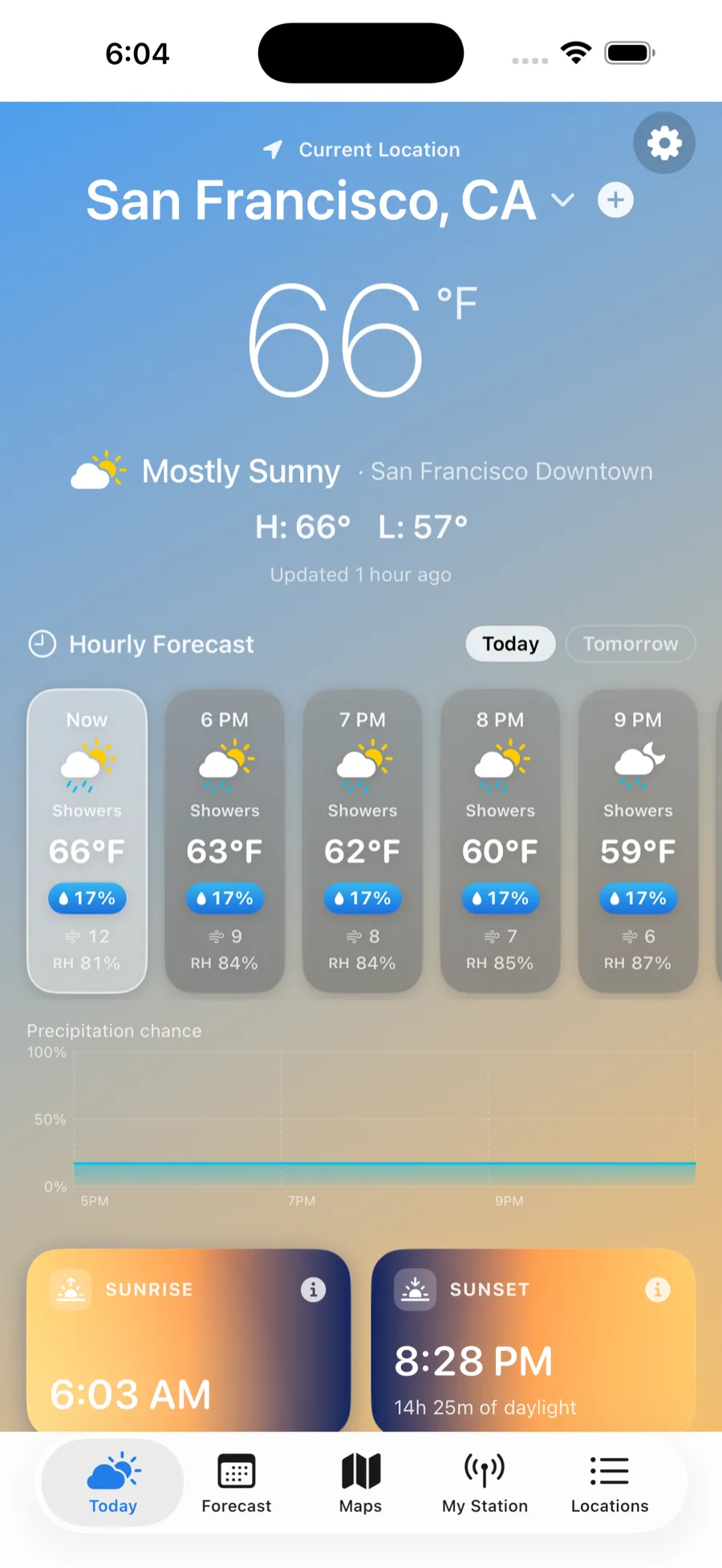
Hour by hour
A clear, beautiful forecast for the place you're looking at — straight from the official sources.
Current conditions
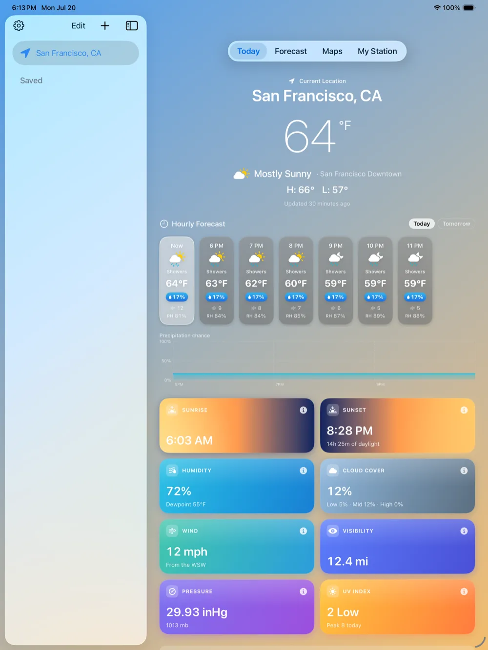
Temperature, feels-like, and sky for your location — updated continuously.
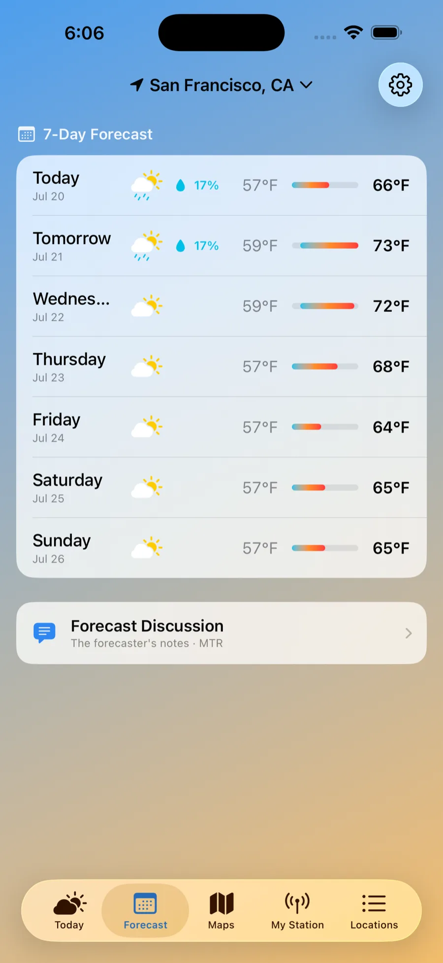
Hourly & 7-day
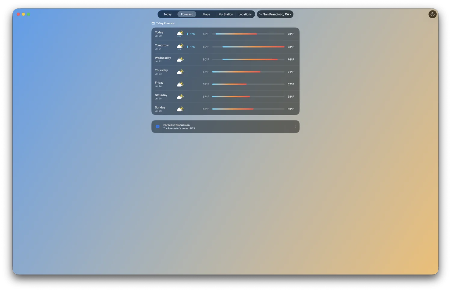
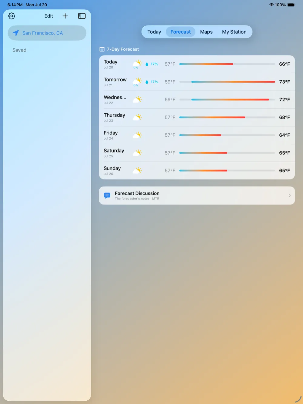
Hour-by-hour detail and a full week, laid out the way you actually plan.
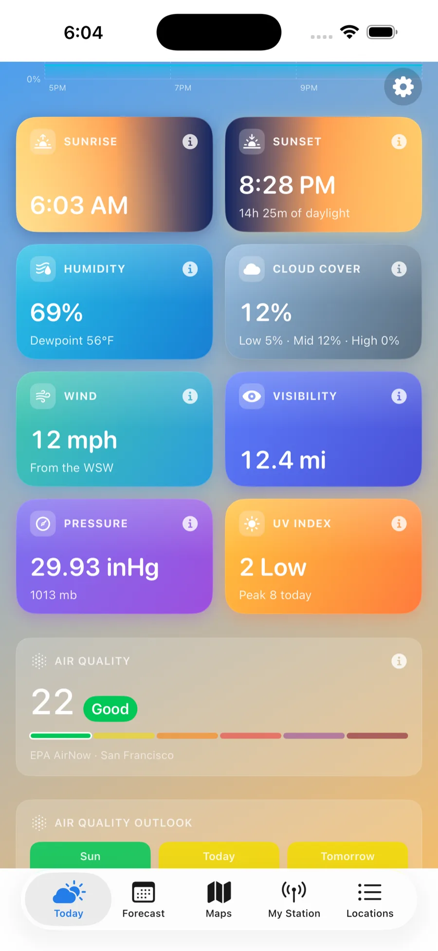
Every metric
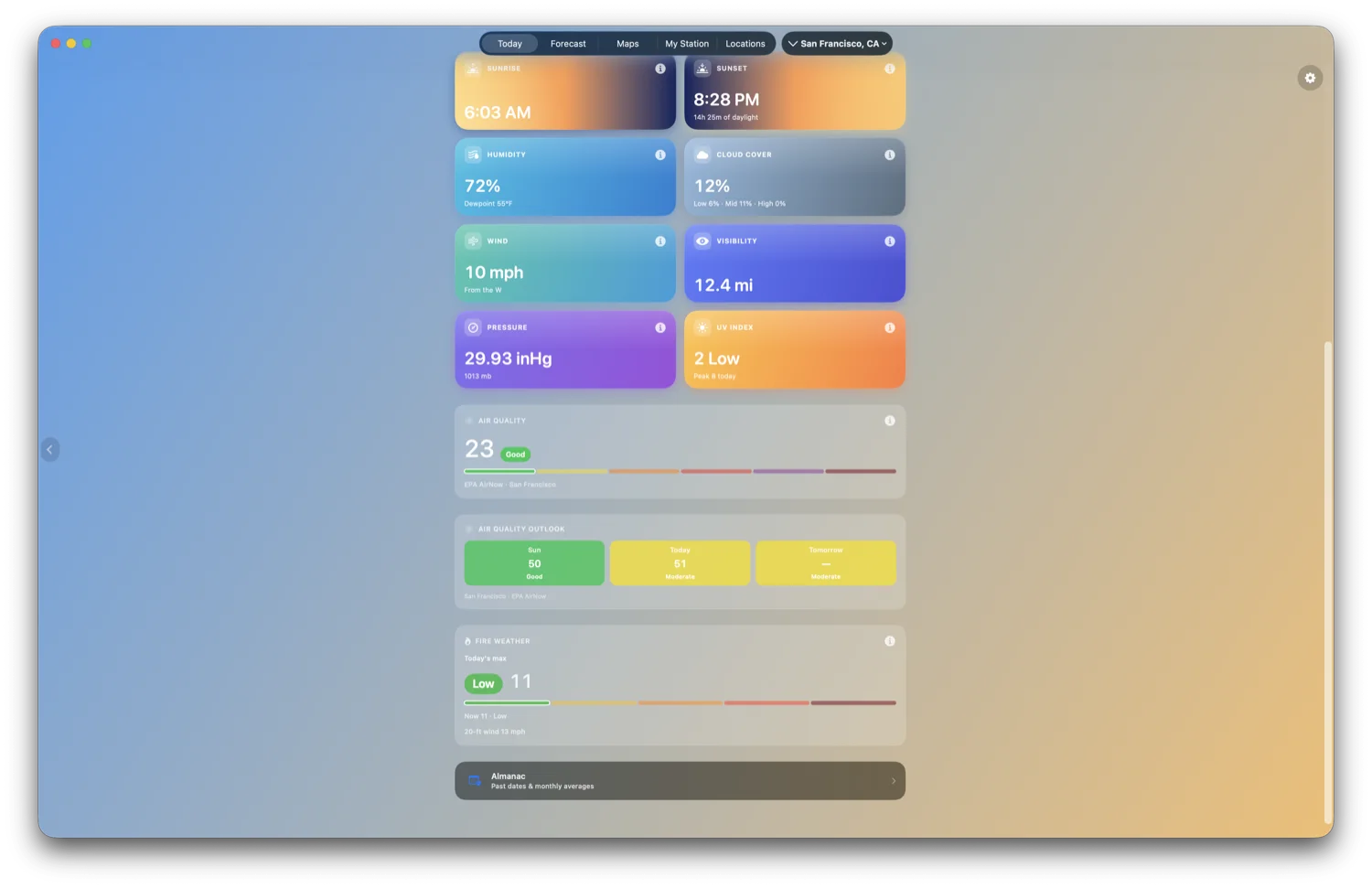
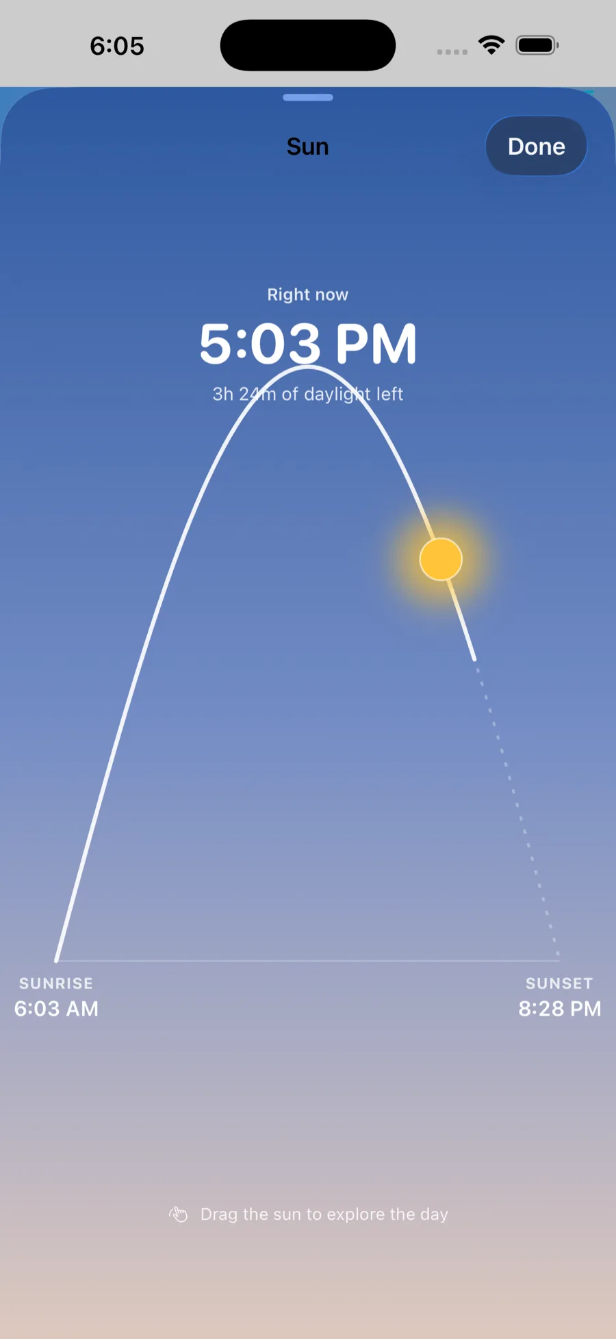
Wind, UV, pressure, humidity, visibility, cloud cover, sunrise and sunset.
Weather alerts
Official watches and warnings on the location's Today tab as soon as the app refreshes — the U.S. National Weather Service, and Environment Canada across the border. Push notifications are a separate, opt-in thing, and cover fire weather and air quality only.
Fire-weather intelligence
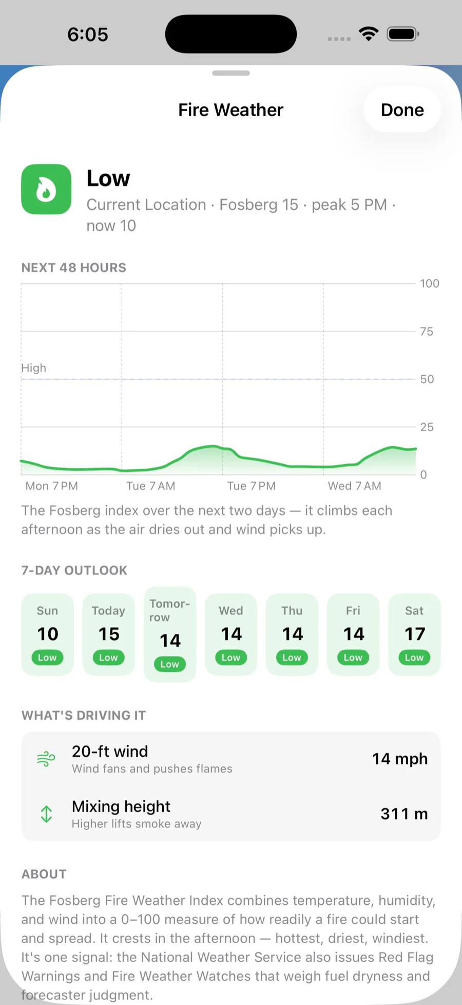
Built for living in wildfire country — fire-weather risk, a dedicated fire map, and the data that keeps you a step ahead of a fire.
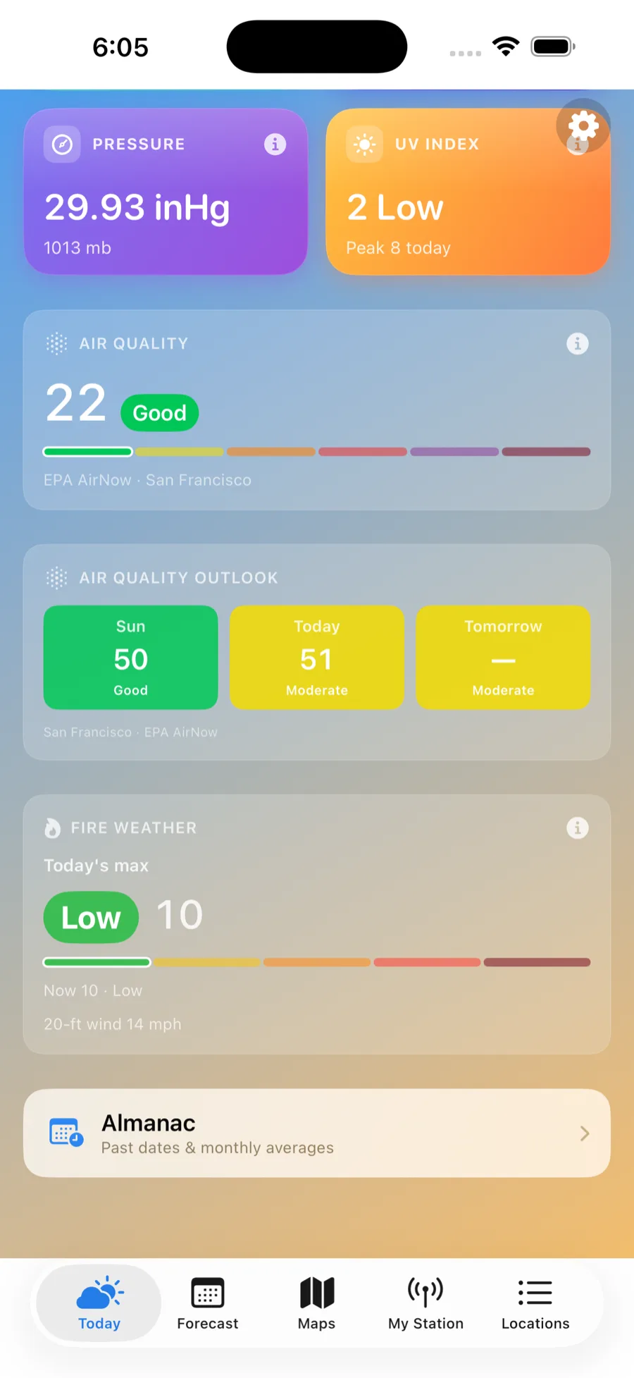
Fire-weather risk
A clear daily read from low to extreme — official in the U.S., and a modeled estimate anywhere else.
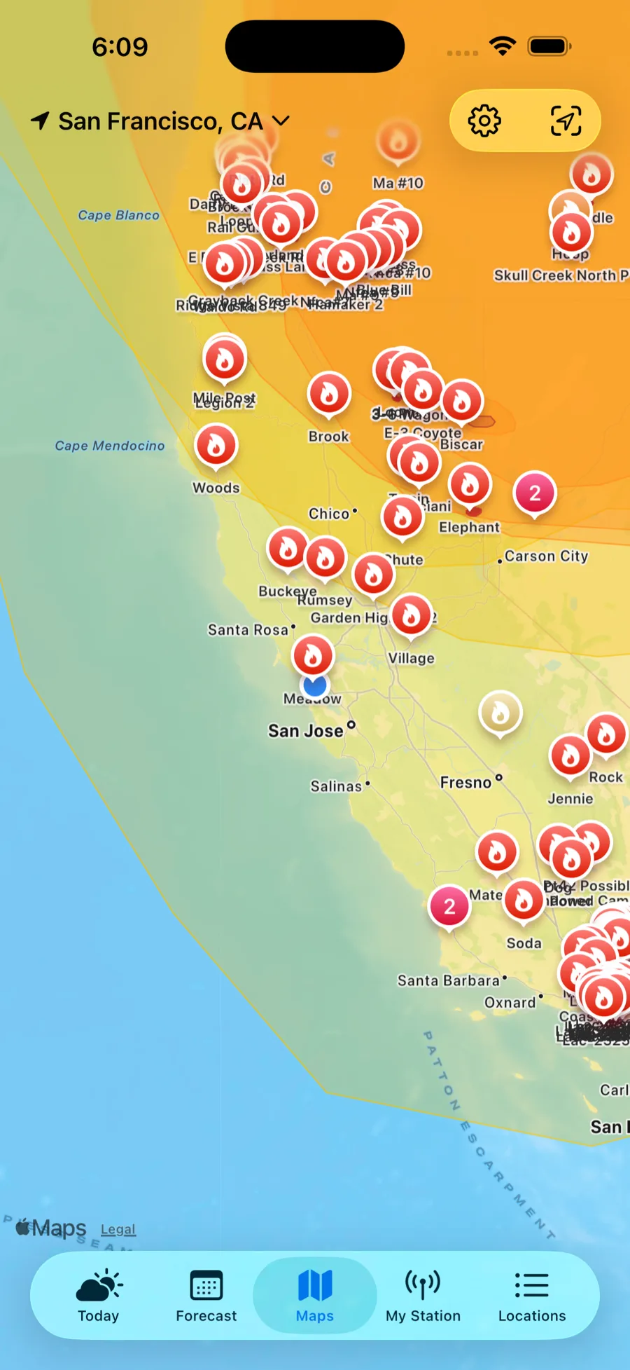
A dedicated fire map
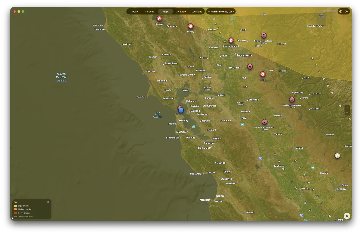
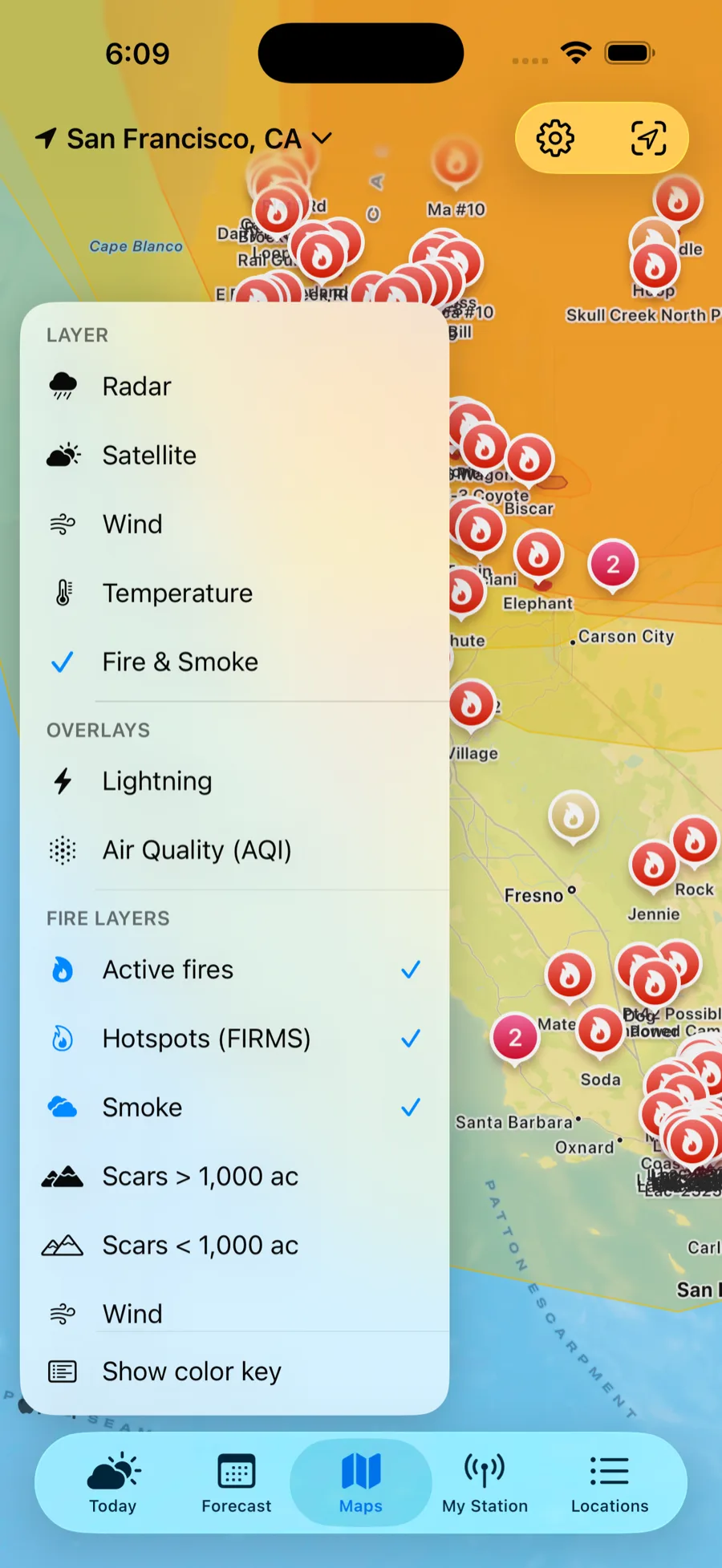
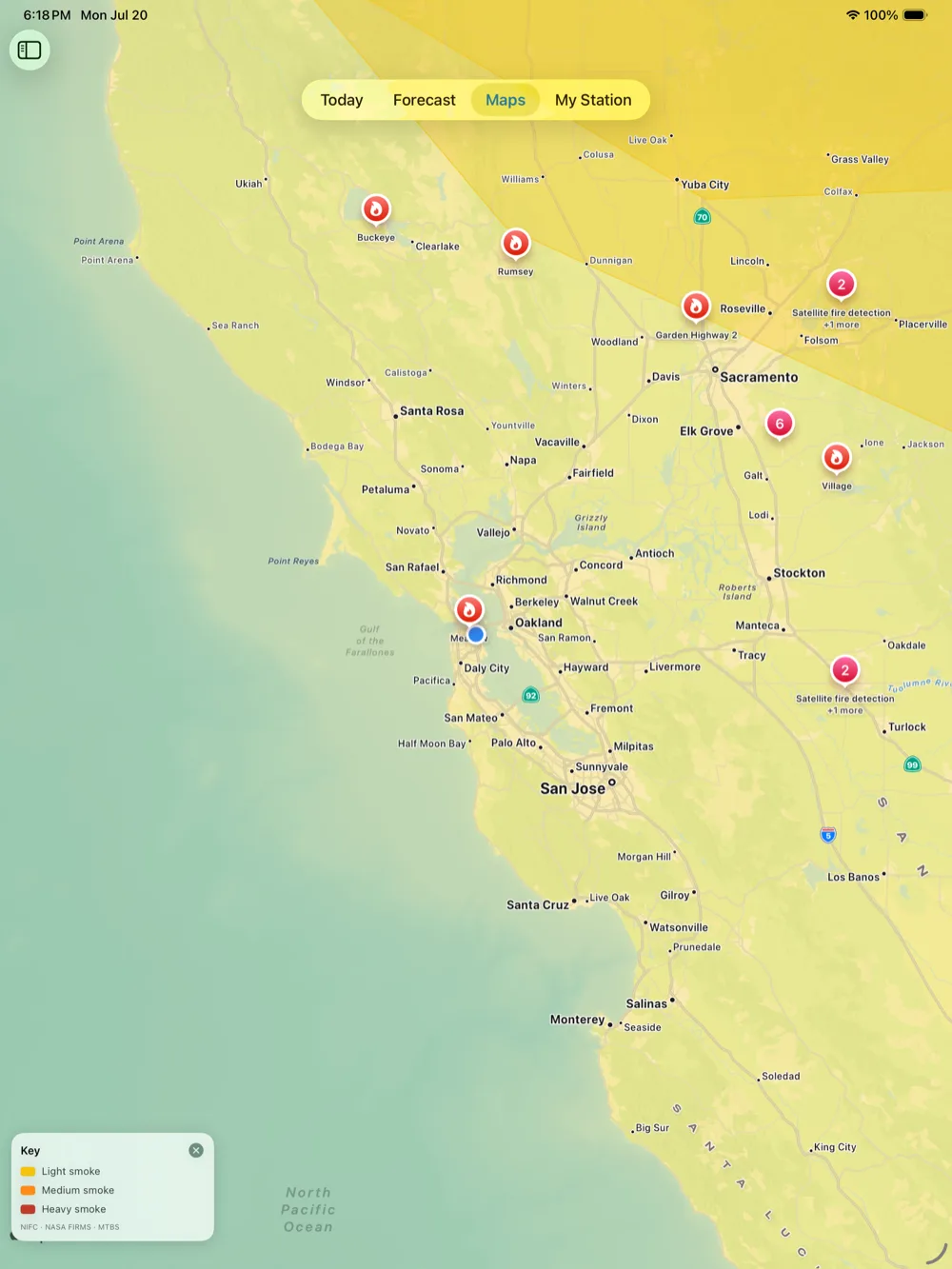
Active fires, satellite hotspots, smoke, and burn history on one map — official data, not a live feed. For live incident updates, it points you to Watch Duty.
Smoke & air quality
AQI now and an outlook, plus mapped wildfire smoke so you know when to stay in.
See the whole sky
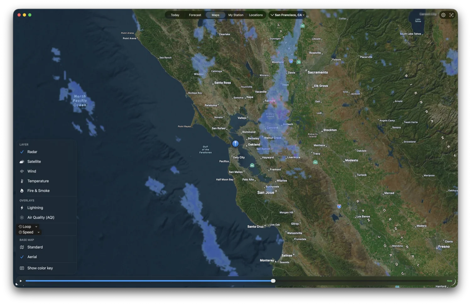
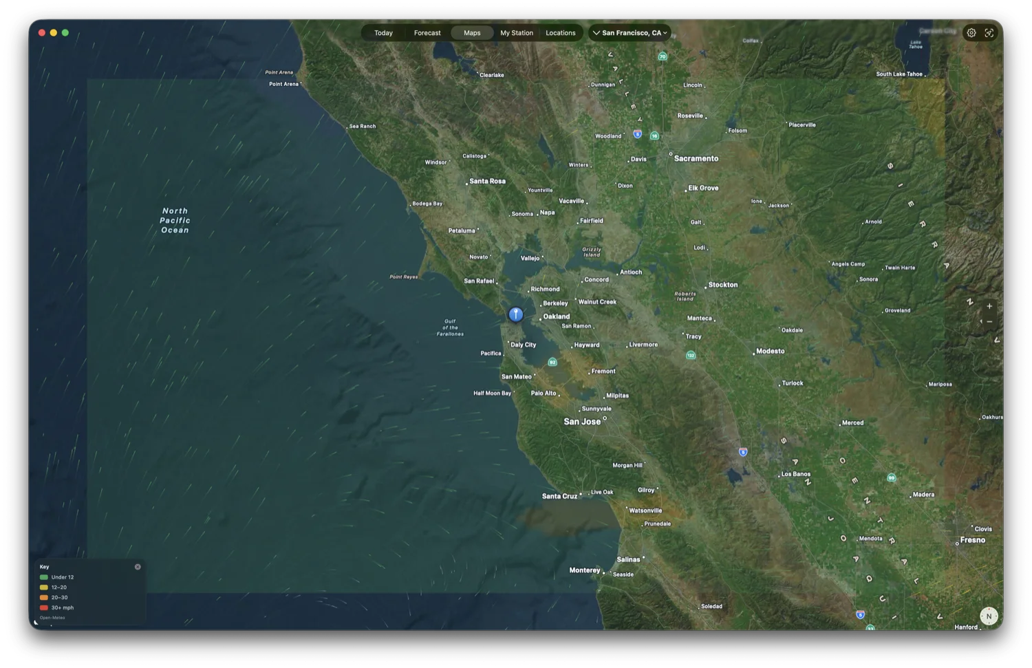
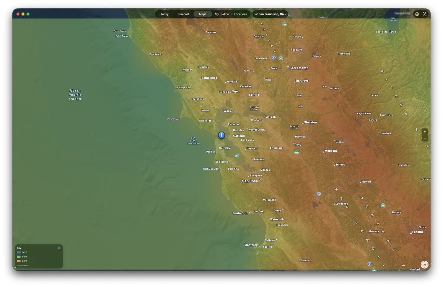
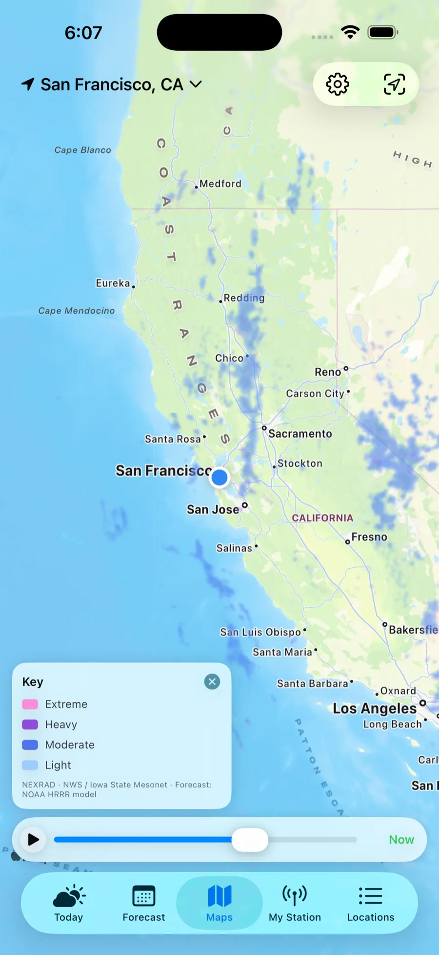
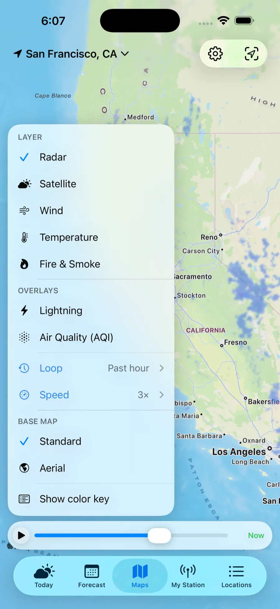
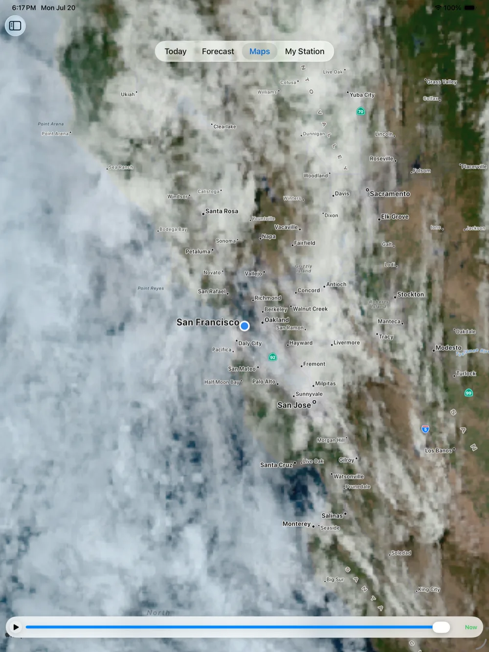
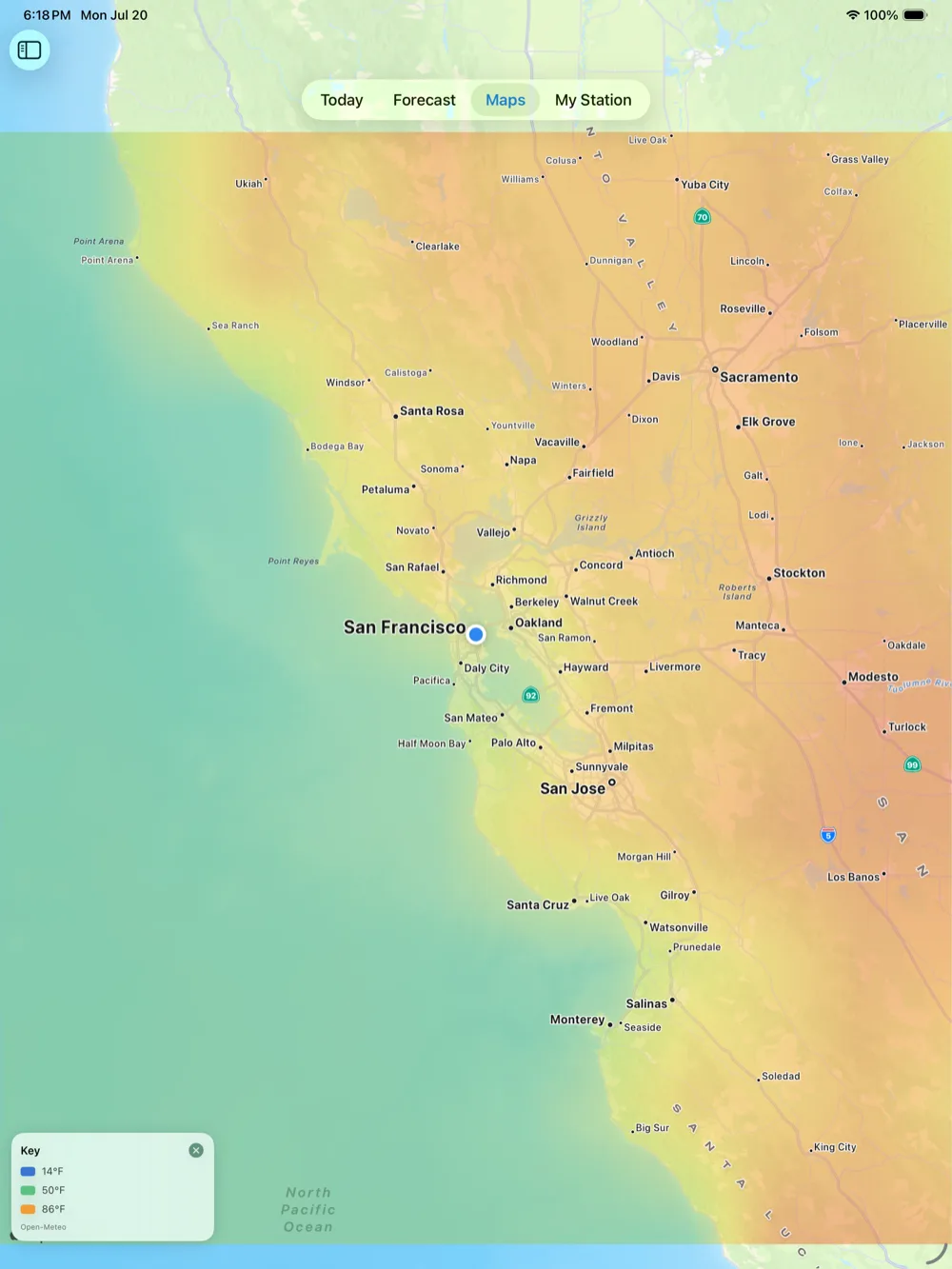
Open Maps and the layer menu comes to you. Pick radar, satellite, wind, temperature, or a dedicated fire map — then stack Lightning and Air-Quality overlays on top of any of them. Nothing heavy loads until you choose.
Radar, and what's next
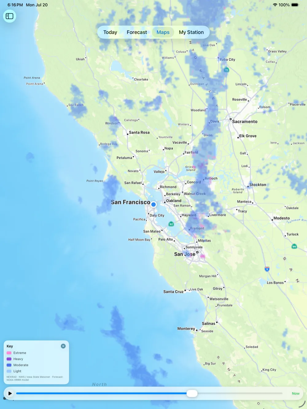
Scrub back through recent precipitation, then keep going — the same timeline runs on into a short-range forecast of where the rain is headed. Seamless across the U.S. and Canada.
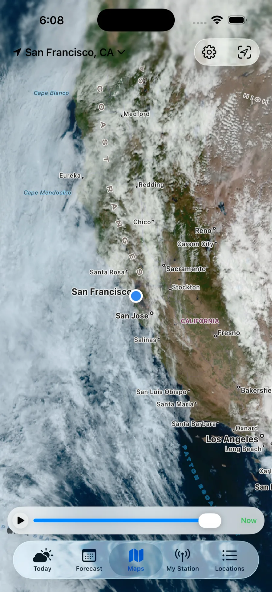
Satellite you can rewind
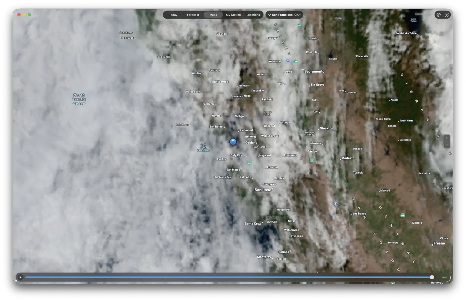
Replay GOES imagery over the last 6 or 24 hours — true color by day, infrared at night — and watch the clouds actually move.
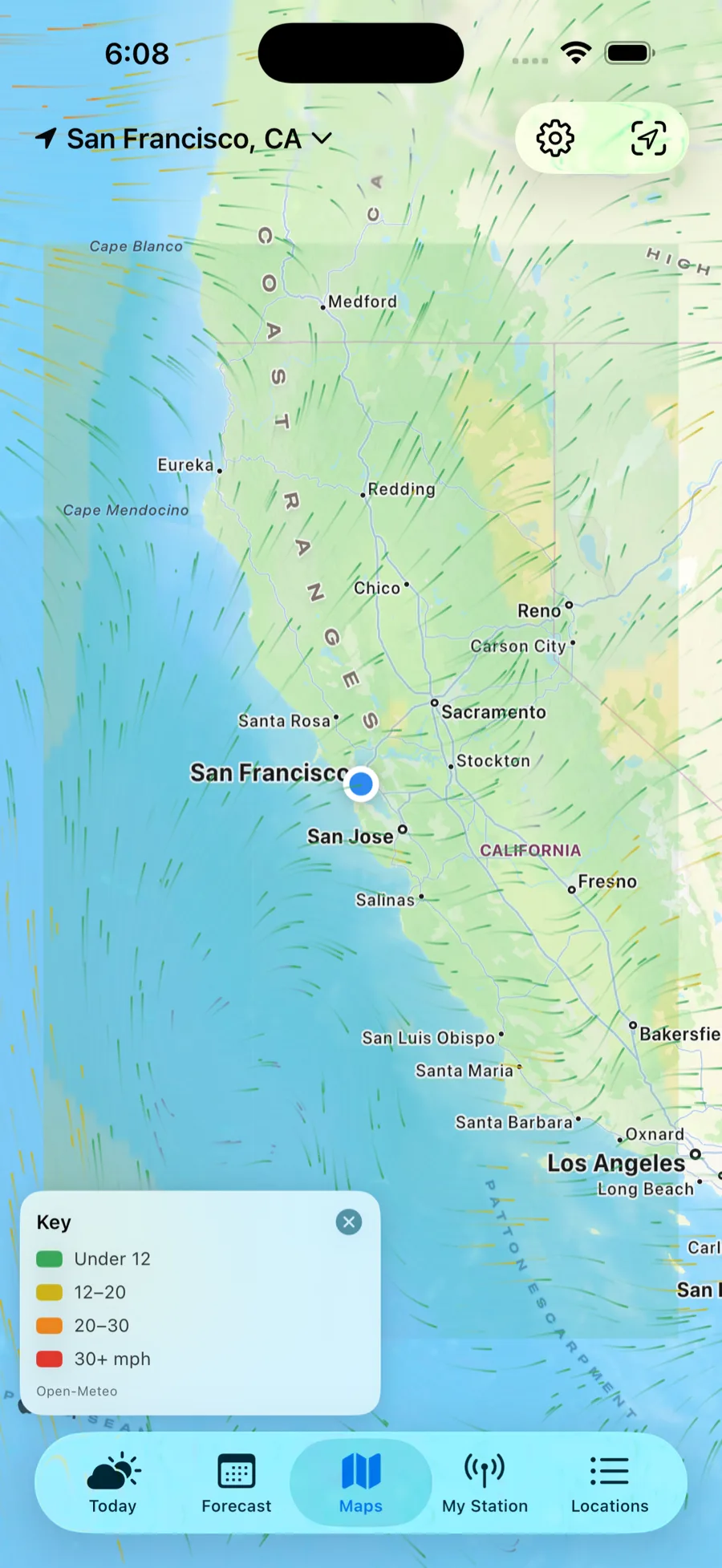
Wind
A flowing surface-wind field you can tap to inspect.
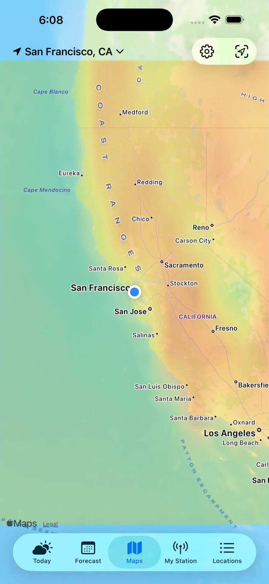
Temperature
A live surface-temperature map — tap anywhere to read the current air temp.
Fire
Active fires, satellite hotspots, smoke, and burn history — all on one fire layer.
Look back, not just ahead
Most weather apps only look forward. Cloudbreak also looks back — so you can see how today really compares.
Weather on any date
Look up the high, low, rainfall, and peak wind for a place on any past day.
Decades of record
The daily archive reaches back to 1940 — see how a day truly compared.
Climate normals
Month-by-month averages from about 15 years of record show what's typical.
Bring your own weather station
Have a backyard station? See it on its own My Station tab and read your own measurements instead of the nearest official one.
Five providers
Connect Ambient Weather, Tempest, Davis, Netatmo, or PWSWeather.
Blended in
Your station's temperature, humidity, wind, and pressure take over from the nearest official observation.
7-day trends
For Ambient stations, track temperature, rainfall, and wind over the past week.
On wrist & home screen
Your readings flow to the Cloudbreak widgets. The Apple Watch is deliberately outside that — it shows public-source weather, because a watch face should not depend on a key the watch cannot hold.
One forecast, every Apple device
Native and in sync across iPhone, Apple Watch, iPad, and Mac, plus home-screen widgets — your places and settings everywhere, privately.
Apple Watch
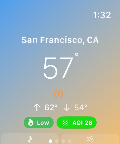
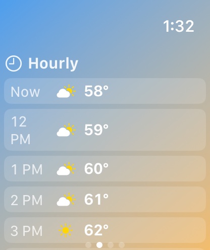
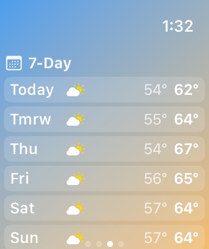
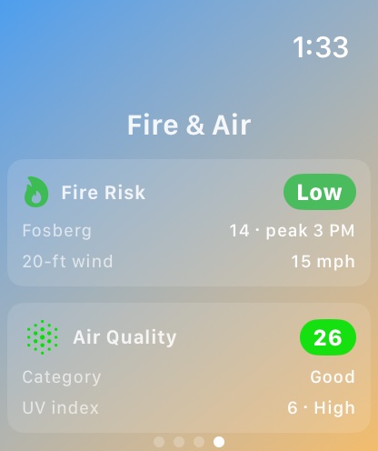
Conditions, fire-weather risk, and severe-weather alerts on your wrist — from the watch's own location.
Widgets
Glanceable forecasts and risk on your home and lock screens.
Mac
The full app, native on the desktop.
On-device alerts
Opt-in fire and weather alerts, scheduled on your device — no tracking, no push server.
On iPad
A true split view — your places in a sidebar beside the full forecast, maps, and more.
On Apple Watch
The forecast, fire risk, and air quality — right on your wrist, from the watch's own location.
On Mac
A native Mac app — the whole forecast, fire-weather, and full-screen maps in a resizable window.